Drone & Aerial Imagery Processing
Stitch and analyze drone imagery into orthomosaics, elevation models, and crop or infrastructure health maps.
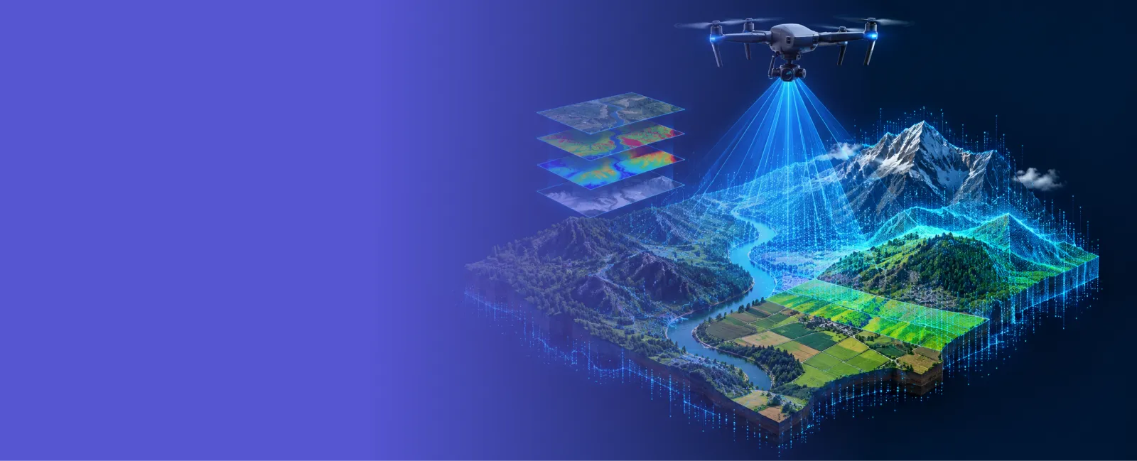
Comfygen builds machine learning applications that process sensor data, drone, aerial, LiDAR, and multispectral imagery, into classification, detection, and monitoring systems. Since 2019, our team has delivered 550+ projects for 400+ clients across 30+ countries.


Six ways Comfygen turns sensor data into a model you can trust.
Stitch and analyze drone imagery into orthomosaics, elevation models, and crop or infrastructure health maps.
Point cloud processing for canopy height, terrain modeling, and 3D structure extraction.
Models that read wavelengths outside visible light to detect crop stress, moisture, or mineral content.
Classification, detection, and regression models trained on your own sensor data, not a generic public dataset.
Automated ingestion, retraining, and monitoring so a model keeps working as new data comes in.
Wide-area monitoring built on Sentinel, Landsat, and SAR data, for when a single sensor can't cover the area.
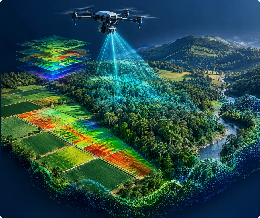
Remote sensing collects data about the earth without touching it: a drone flying over a field, a LiDAR scanner mapping a forest canopy, a multispectral sensor reading crop health in wavelengths a human eye can't see. A remote sensing app takes that raw sensor output and turns it into a number or a map a person can act on.
Comfygen builds the model and the application around it: data ingestion from the sensor, a trained model that does the classification or detection, and a dashboard or API that puts the result in front of a user. This page covers drone, LiDAR, multispectral, and hyperspectral sensors; for satellite-specific pipelines, see Comfygen's satellite imagery analysis software development.
Comfygen does not have a public remote sensing case study live yet, so here is what this page's claim actually rests on: the same engineering team already delivers AI and machine learning development and IoT development for clients in 30+ countries. Training a classifier on sensor readings, drone imagery included, reuses the same machine learning practice the team already runs for other data types.
Ask for a small crop-stress detection demo on open multispectral sample data, scoped to a couple of weeks, before signing off on the full build.
Ask for a proof of concept →🌾 Agriculture
🌲 Forestry & Conservation
⛏️ Mining & Minerals
🏗️ Construction & Infrastructure
🛡️ Insurance & Climate Risk
🌍 Environmental Monitoring
Seven steps from sensor mapping to an optimized, deployed model in production.
Map the sensor you're using, the decision the model needs to support, and how much labeled data already exists.
Sensor output gets wired into an ingestion pipeline, with preprocessing steps specific to that sensor type.
A classification, detection, or regression model gets trained and tested against your own sensor data, not a generic public dataset.
The model connects to a dashboard, an API, or an edge device, and gets tested against real-world field conditions.
The system goes live with monitoring in place, and Comfygen's team stays on for fixes and retraining.
Model accuracy gets tracked against new field data, and retrained when conditions drift.
New sensors, new sites, or wide-area coverage added on as the platform grows, including a path into satellite imagery analysis or a GIS platform.
 Drone Imagery
 LiDAR
 Multispectral
 Hyperspectral
 GDAL
 PDAL
 OpenCV
 scikit-image
 PyTorch
 TensorFlow
 scikit-learn
 Detectron2
 MLflow
 Kubeflow
 AWS SageMaker
 PostGIS
 GeoServer
 AWS
 Google Cloud
 Azure
Drone, LiDAR, and multispectral work at Comfygen runs on seven years of delivering production software.

Comfygen has shipped 550+ projects for 400+ clients in 30+ countries since 2019, and 97% of them come back again.
Engineers who routinely process drone orthomosaics, LiDAR point clouds, and hyperspectral cubes, so sensor-specific quirks don't turn into project delays.
Models ship with retraining pipelines built on MLflow or SageMaker, so accuracy holds as new flights and sensor data arrive.
Ask for a crop stress detection demo on multispectral sample imagery before deciding whether the full application is worth building.
After launch Comfygen handles fixes, new sensor integrations, and model retraining, rather than closing the project out and walking away.
ISO 9001, ISO 27001, and ISO/IEC 20000-1 certification cover every build, delivered by Comfygen teams in Jaipur, Toronto, and Euskirchen.
Add dedicated computer vision and ML engineers to your team without the recruiting cycle.
Flexible engagement: hourly, part-time, or full-time
Direct access to your assigned developers
No recruitment or HR overhead
Start within days, not months
Remote sensing app development builds the software around a sensor, drone, LiDAR, multispectral, or hyperspectral, that turns raw readings into a classification, a detection, or a map a person can act on.
Satellite imagery analysis is one type of remote sensing, focused specifically on satellite data like Sentinel and Landsat. Remote sensing app development covers the wider set of sensors, drone and aerial imagery, LiDAR point clouds, and multispectral or hyperspectral scanners, often used alongside satellite data rather than instead of it.
Drone and aerial imagery, LiDAR point clouds, multispectral and hyperspectral scans, and ground-based IoT sensor feeds all process through the same kind of pipeline.
It depends on the task, but a focused classification model can start producing useful results from a few hundred labeled examples, with accuracy improving as more labeled data comes in from the field.
Yes. A trained model can run on an edge device, a drone's onboard computer or a field tablet, so inference happens without a live internet connection.
A focused application typically takes 10 to 18 weeks, depending on the sensor type and how much labeled training data already exists.
Yes. Crop stress detection, yield prediction, and irrigation planning are some of the most common remote sensing builds Comfygen takes on for agriculture clients.
Yes. Remote sensing output plugs into a GIS platform as another data layer, and combines with satellite imagery for a wider view alongside the sensor's close-up detail.
Hear what our clients have to say about their experience working with us
📹 Video URL: https://www.youtube.com/watch?v=kedGnt6T-DI
🖼️ Thumbnail URL: https://www.comfygen.com/comfygen-images/comfygen/nitesh-rajput-testimonial.webp
Book My Tutor
📹 Video URL: https://www.youtube.com/watch?v=-AkHiORQTjA
🖼️ Thumbnail URL: https://www.comfygen.com/comfygen-images/comfygen/sayead-shadab-arif-testimonial.webp
Froge Flex
Tell Comfygen's team what sensor you're working with and what you need the model to detect. A short discovery call is enough to scope the first version.

Abhishek Singh is a Project Manager at Comfygen Technologies, leading mobile app solutions for clients across 7 countries. He has managed 20+ end-to-end builds across delivery, healthcare, finance, education, and ecommerce platforms. His Python background gives him a solid technical grip on what he's managing, and he handles scoping, planning, and delivery to keep every project on track.
We have the knowledge and skills to work on diverse niches with high-performing solutions. Get insights about the tech revolutions and their significance through our updated blogs.
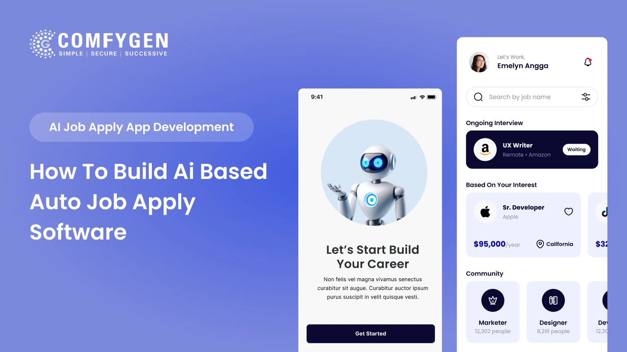
An AI-based job apply app costs $25,000 to $60,000 for an MVP and $90,000 to $200,000+ for a full platform with resume parsing, candidate ranking and recruiter dashboards. A working MVP takes 4 to 6 months. The build has two sides. The candidate side handles profile building, AI job matching and automated applications. The recruiter […]
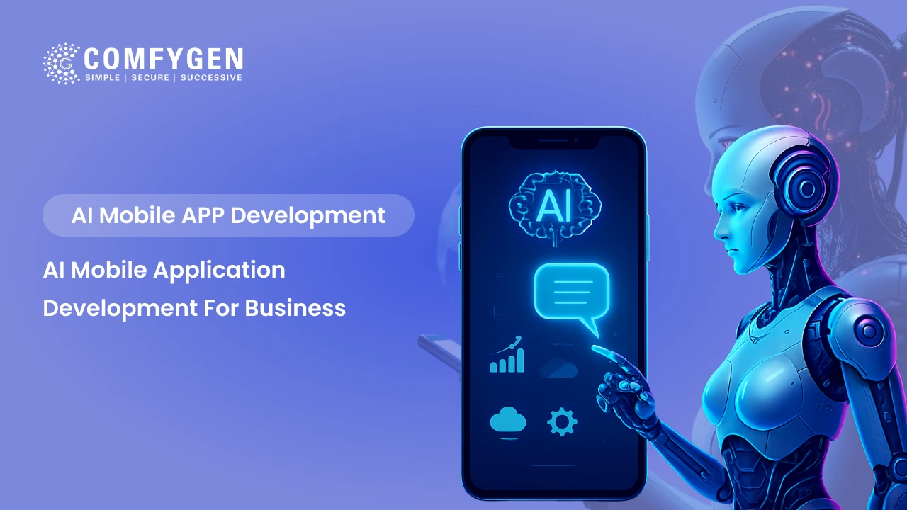
AI mobile app development means building machine learning, natural language processing, computer vision or predictive models into an app so it adapts to each user instead of following fixed rules. Adding one AI feature to an existing app costs $15,000 to $45,000 and takes 6 to 10 weeks. A full AI-powered mobile app runs $40,000 […]
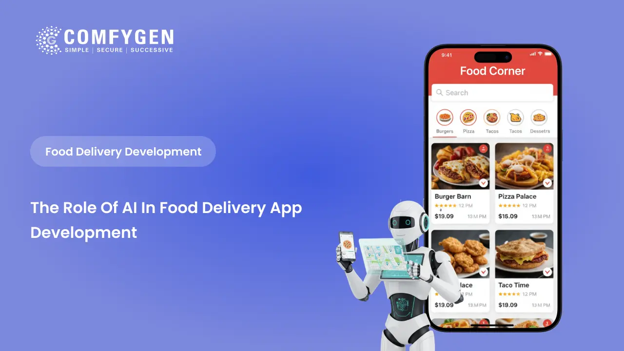
The food delivery industry runs on speed, personalization, and precision – and none of that is possible at scale without Artificial Intelligence. Platforms like Zomato, Swiggy, and Uber Eats don’t just deliver food; they use AI to predict what you want, when you want it, who should deliver it, and how to get it there […]