Fire Risk Scoring
Models that combine weather, fuel, and terrain data into a daily risk score for a region or a specific site.
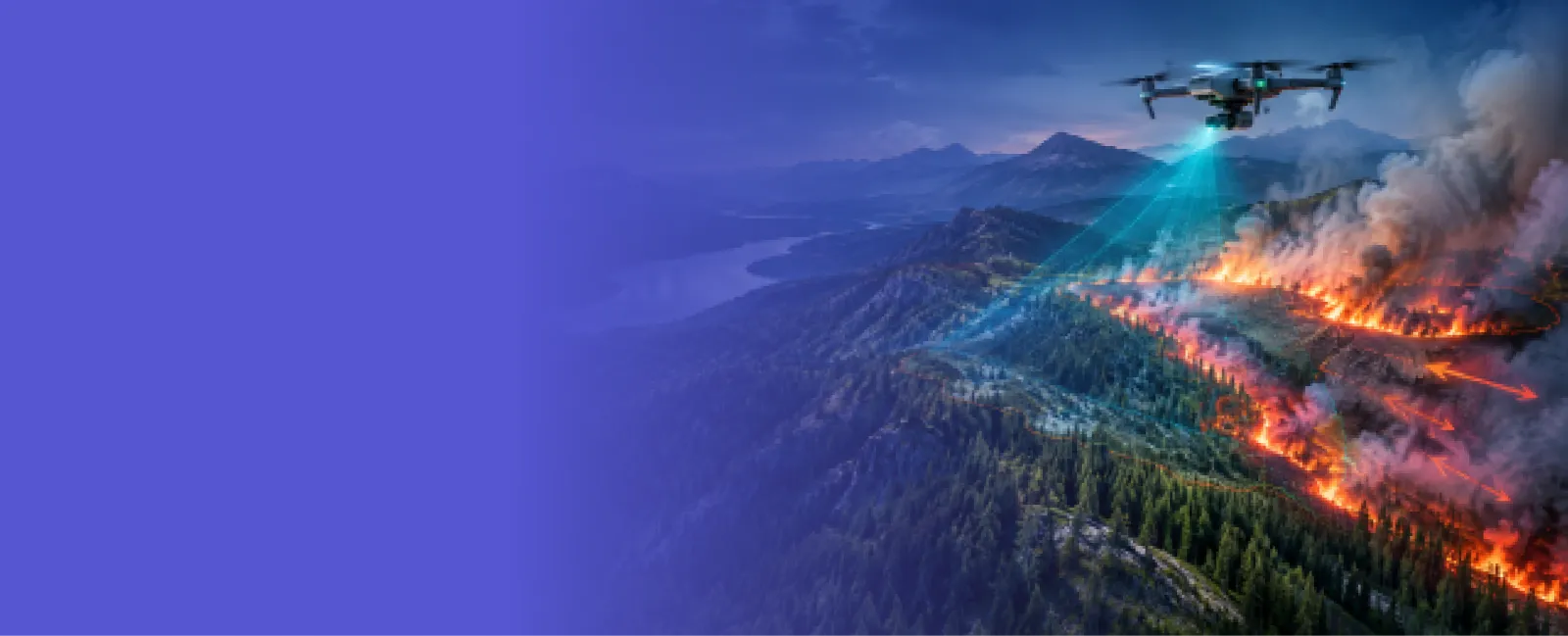
Comfygen builds software that scores fire risk, predicts spread, and gives responders a shared, real-time view of a wildfire as it develops. Since 2019, our team has delivered 550+ projects for 400+ clients across 30+ countries.


Six ways Comfygen helps a team get ahead of a wildfire instead of reacting to one.
Models that combine weather, fuel, and terrain data into a daily risk score for a region or a specific site.
Simulate how a fire is likely to move given wind, slope, and fuel conditions, updated as conditions change.
Map where structures and vegetation meet, so a response team knows which properties sit in the highest-risk zone.
A shared, real-time operating picture for incident commanders and field crews during an active fire.
Automated ingestion of fire detections and weather data, refreshed on a schedule that matches how fast a fire can move.
Dedicated developers who join your team for a single platform or an ongoing fire season build-out.
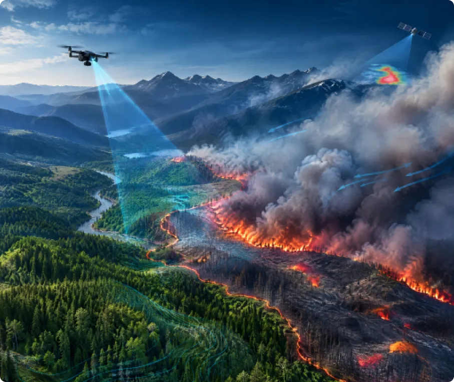
Wildfire management software pulls together weather data, fuel conditions, terrain, and live fire detections, then turns them into a risk score, a spread prediction, or a map responders can act on during an active incident. Instead of radio reports and a paper map, a team gets one shared, real-time picture of where a fire is and where it is likely to go next.
Comfygen builds this on open data: NASA FIRMS for near real-time fire detections, weather feeds for wind and humidity, and satellite imagery for fuel and vegetation mapping. The same team runs Comfygen's wider geospatial AI development work, so a wildfire platform connects straight into a GIS system or a satellite imagery pipeline without a separate rebuild.
Comfygen does not have a public wildfire software case study live yet, so here is what this page's claim actually rests on: the same engineering team already delivers AI and machine learning development and IoT development for clients in 30+ countries. A risk-scoring model is still a machine learning model, and a live operations dashboard reuses the same real-time data engineering the team already runs for other industries.
Ask for a small wildfire-risk dashboard demo running on live NASA FIRMS and Sentinel data, open to review before you commit to a full project.
Ask for a proof of concept →🏛️ Government & Forestry Agencies
⚡ Utilities & Energy
🛡️ Insurance & Climate Risk
🚒 Emergency Services & Public Safety
🌲 Forestry & Conservation
🏠 Real Estate & Land Management
Map your agency's response workflow, data sources, and the decisions the platform needs to support.
Weather, fuel, and NASA FIRMS data get wired into a pipeline that refreshes fast enough to matter during an incident.
Risk-scoring and spread-prediction models get trained and validated against historical fire perimeters in your region.
The platform connects to existing dispatch or emergency management systems, and gets tested against past fire events.
The system goes live with monitoring in place, and Comfygen's team stays on through fire season for fixes and updates.
Prediction accuracy gets checked against real outcomes each season, and models get retrained as conditions shift.
New regions, new data feeds, or a path into forest monitoring get added on as the platform grows.
 NASA FIRMS
 NOAA Weather API
 VIIRS
 GDAL
 PostGIS
 GeoServer
 Python
 PyTorch
 scikit-learn
 Mapbox
 Leaflet
 ArcGIS
 AWS
 Google Cloud
 Azure
 React Native
 Flutter
Wildfire software demands reliable data pipelines, which is what Comfygen's engineers have built since 2019.

Comfygen has built and shipped 550+ projects for 400+ clients across 30+ countries, keeping 97% of those clients long term.
NASA FIRMS, VIIRS, and NOAA weather feeds get wired in properly, so alerts keep arriving even when conditions change quickly.
Spread models are presented as planning and prioritization tools, never as guarantees, so your team knows exactly what it's relying on.
Ask to see a wildfire risk dashboard running on live FIRMS and Sentinel data before committing budget to the build.
Comfygen stays available after launch for fixes and model updates, which matters most when fire season load peaks without warning.
ISO 9001, ISO 27001, and ISO/IEC 20000-1 certified delivery, with teams across Jaipur, Toronto, and Euskirchen covering multiple time zones.
Add dedicated engineers to your team without the recruiting cycle, in time for the next fire season.
Flexible engagement: hourly, part-time, or full-time
Direct access to your assigned developers
No recruitment or HR overhead
Start within days, not months

Wildfire management software pulls together weather, fuel, terrain, and live fire detection data into a risk score, a spread prediction, or a shared map that responders use during an active incident.
Spread prediction models are a planning and prioritization tool, not a guarantee. Accuracy depends heavily on how current the wind, fuel moisture, and terrain data are, and models are usually validated against historical fire perimeters before being trusted operationally.
NASA FIRMS for near real-time fire detections, NOAA or similar services for weather, satellite imagery for fuel and vegetation mapping, and often a region's own GIS data for terrain and infrastructure.
Yes. A wildfire platform can expose its risk scores and maps through an API, so an existing computer-aided dispatch or emergency management system can pull the data in rather than requiring staff to use a second tool.
A focused risk-scoring or dashboard platform typically takes 16 to 24 weeks, depending on how many data sources it integrates and whether it includes a mobile field app.
Yes. Utilities use the same kind of platform to score ignition risk along power lines and plan vegetation management, a different use case from emergency response that draws on the same data and models.
Wildland-Urban Interface (WUI) mapping identifies where buildings and vegetation sit close together, which is where a wildfire is most likely to damage property and put people at risk. It helps a team prioritize where to focus prevention and response resources.
NASA FIRMS alone can show where a fire has already been detected, but it does not predict where a fire will go next. Spread prediction needs weather, fuel, and terrain data added on top.
Hear what our clients have to say about their experience working with us
📹 Video URL: https://www.youtube.com/watch?v=kedGnt6T-DI
🖼️ Thumbnail URL: https://www.comfygen.com/comfygen-images/comfygen/nitesh-rajput-testimonial.webp
Book My Tutor
📹 Video URL: https://www.youtube.com/watch?v=-AkHiORQTjA
🖼️ Thumbnail URL: https://www.comfygen.com/comfygen-images/comfygen/sayead-shadab-arif-testimonial.webp
Froge Flex
Tell Comfygen's team which region you need to cover and who the platform needs to serve. A short discovery call is enough to scope the first version.


Abhishek Singh is a Project Manager at Comfygen Technologies, leading mobile app solutions for clients across 7 countries. He has managed 20+ end-to-end builds across delivery, healthcare, finance, education, and ecommerce platforms. His Python background gives him a solid technical grip on what he's managing, and he handles scoping, planning, and delivery to keep every project on track.
We have the knowledge and skills to work on diverse niches with high-performing solutions. Get insights about the tech revolutions and their significance through our updated blogs.
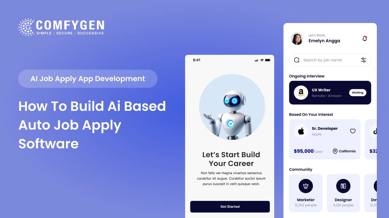
An AI-based job apply app costs $25,000 to $60,000 for an MVP and $90,000 to $200,000+ for a full platform with resume parsing, candidate ranking and recruiter dashboards. A working MVP takes 4 to 6 months. The build has two sides. The candidate side handles profile building, AI job matching and automated applications. The recruiter […]
AI mobile app development means building machine learning, natural language processing, computer vision or predictive models into an app so it adapts to each user instead of following fixed rules. Adding one AI feature to an existing app costs $15,000 to $45,000 and takes 6 to 10 weeks. A full AI-powered mobile app runs $40,000 […]
The food delivery industry runs on speed, personalization, and precision – and none of that is possible at scale without Artificial Intelligence. Platforms like Zomato, Swiggy, and Uber Eats don’t just deliver food; they use AI to predict what you want, when you want it, who should deliver it, and how to get it there […]