Land Cover Classification
Models that label every pixel of a satellite image, forest, water, cropland, built-up area, so land use change shows up on its own.

Comfygen builds software that turns raw satellite imagery, Sentinel, Landsat, and SAR data, into land cover maps, change detection, and automatic anomaly alerts. Since 2019, our team has delivered 550+ projects for 400+ clients across 30+ countries.


Six ways Comfygen turns satellite imagery into decisions a team can act on.
Models that label every pixel of a satellite image, forest, water, cropland, built-up area, so land use change shows up on its own.
Compare two imagery dates and flag exactly what changed between them, deforestation, construction, flooding, at the pixel level.
Radar imagery processing for all-weather, day-and-night monitoring where optical satellites can't see through cloud cover.
Detect and count specific objects from orbit, vehicles, ships, buildings, storage tanks, at scale.
Automated ingestion from Sentinel Hub, Planet, or Maxar, scheduled and monitored end to end.
Machine learning models for monitoring at scale across an entire region or country.
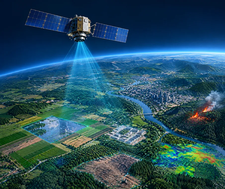
Satellite imagery analysis software reads pictures taken from orbit and finds what matters in them automatically: a flooded field, a new building, a patch of cleared forest, a wildfire hot spot. Instead of a person scrolling through thousands of images by eye, a trained model flags the pixels that changed and scores how confident it is.
Comfygen builds these pipelines on open satellite feeds like Sentinel-1, Sentinel-2, and Landsat, then layers machine learning on top for classification and change detection. The same team runs Comfygen's wider geospatial AI development work, so a satellite imagery pipeline connects straight into a GIS platform or a wildfire risk model without a separate rebuild.
Comfygen does not have a public satellite imagery case study live yet, so here is what this page's claim actually rests on: the same engineering team already delivers AI and machine learning development and IoT development for clients in 30+ countries. Image classification and object detection reuse the same computer vision practice the team already runs, applied to satellite tiles instead of photos or sensor feeds.
Ask for a small land-cover change-detection demo on open Sentinel-2 imagery, scoped to a couple of weeks, before signing off on the full build.
Ask for a proof of concept →🌾 Agriculture
🛡️ Insurance & Climate Risk
🏛️ Government & Defense
🌲 Forestry & Conservation
🏙️ Urban Planning
⚡ Energy & Utilities
Map the area of interest, the change you need to detect, and how often a new answer is needed.
Satellite feeds get selected and wired into an automated ingestion and preprocessing pipeline.
Classification or detection models get trained and tested against imagery from your actual region, not a generic public dataset.
The platform connects to your dashboard or compliance workflow, and gets tested against real-world edge cases like cloud cover and seasonal change.
The system goes live with monitoring in place, and Comfygen's team stays on for fixes and retraining.
Model accuracy and processing time get tracked and tuned as new imagery and seasons come in.
New regions, new sensors, or new alert types added on as the platform grows, including a path into wildfire risk modeling or EUDR compliance.
 Sentinel Hub
 Planet API
 Google Earth Engine
 Maxar
 GDAL
 OpenCV
 scikit-image
 PyTorch
 TensorFlow
 Detectron2
 U-Net
 PostGIS
 GeoServer
 AWS
 Google Cloud
 Azure
 GeoTIFF
 COG
 NetCDF
 HDF5
Satellite analysis at Comfygen sits on seven years of production software and machine learning delivery.

Comfygen has delivered 550+ software projects to 400+ clients across 30+ countries since 2019, and 97% of those clients return.
Engineers who handle GeoTIFF, COG, and SAR formats directly, so band math and reprojection problems don't stall your delivery timeline.
Classification and change detection models get trained against your own scenes and ground truth, not a generic public benchmark dataset.
Request a change detection run on Sentinel-2 imagery covering your area of interest before any commitment to a full build.
Accuracy drifts as sensors and seasons change, so Comfygen stays on to retrain and recalibrate models after the platform ships.
Every build runs under ISO 9001, ISO 27001, and ISO/IEC 20000-1 certification, handled from Comfygen's Jaipur, Toronto, and Euskirchen offices.
Add dedicated computer vision and geospatial engineers to your team without the recruiting cycle.
Flexible engagement: hourly, part-time, or full-time
Direct access to your assigned developers
No recruitment or HR overhead
Start within days, not months

Satellite imagery analysis software reads satellite pictures and automatically classifies, detects change in, or counts objects within them, so a team does not have to scroll through thousands of images by eye.
Optical satellites like Sentinel-2 and Landsat capture visible and infrared light, but clouds block the view. SAR satellites send their own radar signal and can see through cloud cover, day or night, which makes them useful for flood mapping and all-weather monitoring.
Land cover classification models typically reach 85 to 95 percent accuracy, depending on image resolution, the number of land cover classes, and how much labeled training data is available for the specific region.
Close to it, for public satellites. Sentinel-2 revisits most locations every 5 days, so a change-detection pipeline can flag an update within days of a new image becoming available, not in true real time.
Comfygen works with Sentinel-1 and Sentinel-2, Landsat, NASA FIRMS, and commercial providers like Planet and Maxar for higher-resolution imagery.
A focused tool typically takes 12 to 20 weeks, depending on how many models it runs and how much historical imagery needs processing.
Yes. A satellite monitoring layer can check a commodity's geolocation against deforestation data and feed directly into an EUDR compliance platform.
Yes. Drone imagery fills in detail between satellite passes, and the two data sources combine well for change detection at both a wide and a close-up scale.
Hear what our clients have to say about their experience working with us
📹 Video URL: https://www.youtube.com/watch?v=kedGnt6T-DI
🖼️ Thumbnail URL: https://www.comfygen.com/comfygen-images/comfygen/nitesh-rajput-testimonial.webp
Book My Tutor
📹 Video URL: https://www.youtube.com/watch?v=-AkHiORQTjA
🖼️ Thumbnail URL: https://www.comfygen.com/comfygen-images/comfygen/sayead-shadab-arif-testimonial.webp
Froge Flex
Tell Comfygen's team which area you need to monitor and what change you need to catch. A short discovery call is enough to scope the first version.

Abhishek Singh is a Project Manager at Comfygen Technologies, leading mobile app solutions for clients across 7 countries. He has managed 20+ end-to-end builds across delivery, healthcare, finance, education, and ecommerce platforms. His Python background gives him a solid technical grip on what he's managing, and he handles scoping, planning, and delivery to keep every project on track.
We have the knowledge and skills to work on diverse niches with high-performing solutions. Get insights about the tech revolutions and their significance through our updated blogs.
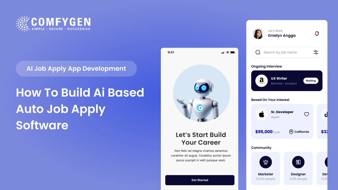
An AI-based job apply app costs $25,000 to $60,000 for an MVP and $90,000 to $200,000+ for a full platform with resume parsing, candidate ranking and recruiter dashboards. A working MVP takes 4 to 6 months. The build has two sides. The candidate side handles profile building, AI job matching and automated applications. The recruiter […]
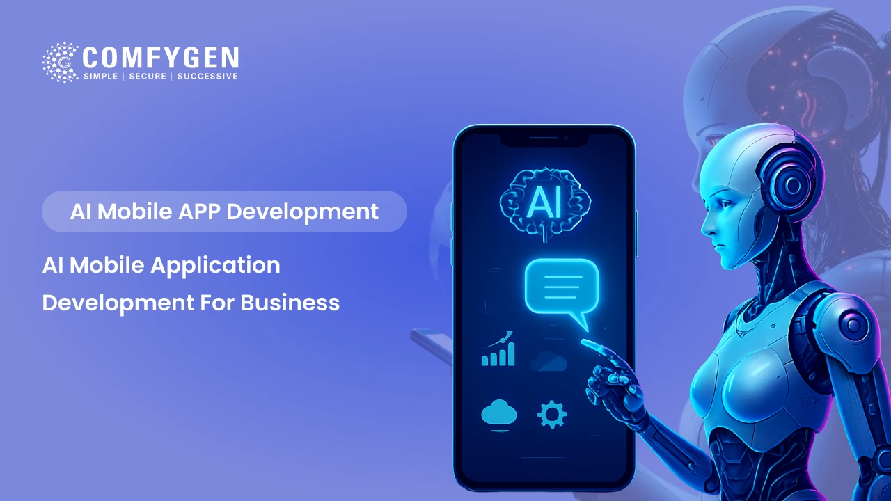
AI mobile app development means building machine learning, natural language processing, computer vision or predictive models into an app so it adapts to each user instead of following fixed rules. Adding one AI feature to an existing app costs $15,000 to $45,000 and takes 6 to 10 weeks. A full AI-powered mobile app runs $40,000 […]
The food delivery industry runs on speed, personalization, and precision – and none of that is possible at scale without Artificial Intelligence. Platforms like Zomato, Swiggy, and Uber Eats don’t just deliver food; they use AI to predict what you want, when you want it, who should deliver it, and how to get it there […]